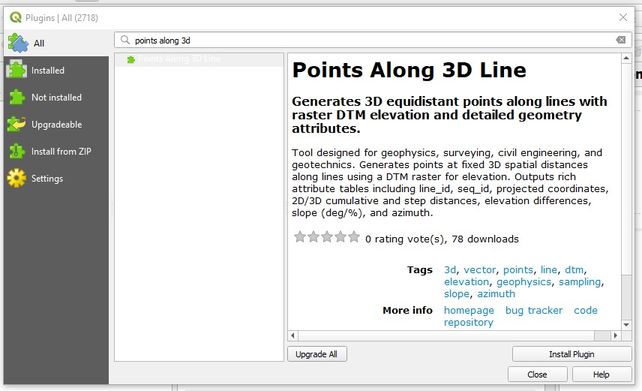
The new plugin Points Along 3D Line, developed by the GD Test team as a support tool for managing and preparing geophysical and topographic data, is officially available on the QGIS repository.
The tool meets the practical need to sample 3D lines at regular intervals along the actual terrain topography. By integrating with digital terrain models (raster DTMs), the plugin generates spatially equidistant 3D points along the path and automatically populates a comprehensive attribute table with the following key information:
- line_id & seq_id: customizable line identifier and numerical point sequence.
- x_coord, y_coord & z_ele: geographic/projected coordinates in the desired CRS and actual elevation extracted from the DTM.
- dist_2d & dist_3d: step and cumulative distances in both 2D plane and 3D space.
- delta_z, slope & azimuth: step elevation change, segment slope (in degrees and percentage), and directional angle.
Designed to streamline fieldwork and post-processing in the fields of geophysics, topography, and geotechnics, the Points Along 3D Line plugin is open-source and can be downloaded within QGIS via Plugins > Manage and Install Plugins, or accessed directly on the QGIS Python Plugins Repository.